Drone roof inspection of a commercial building: what it can and cannot tell you
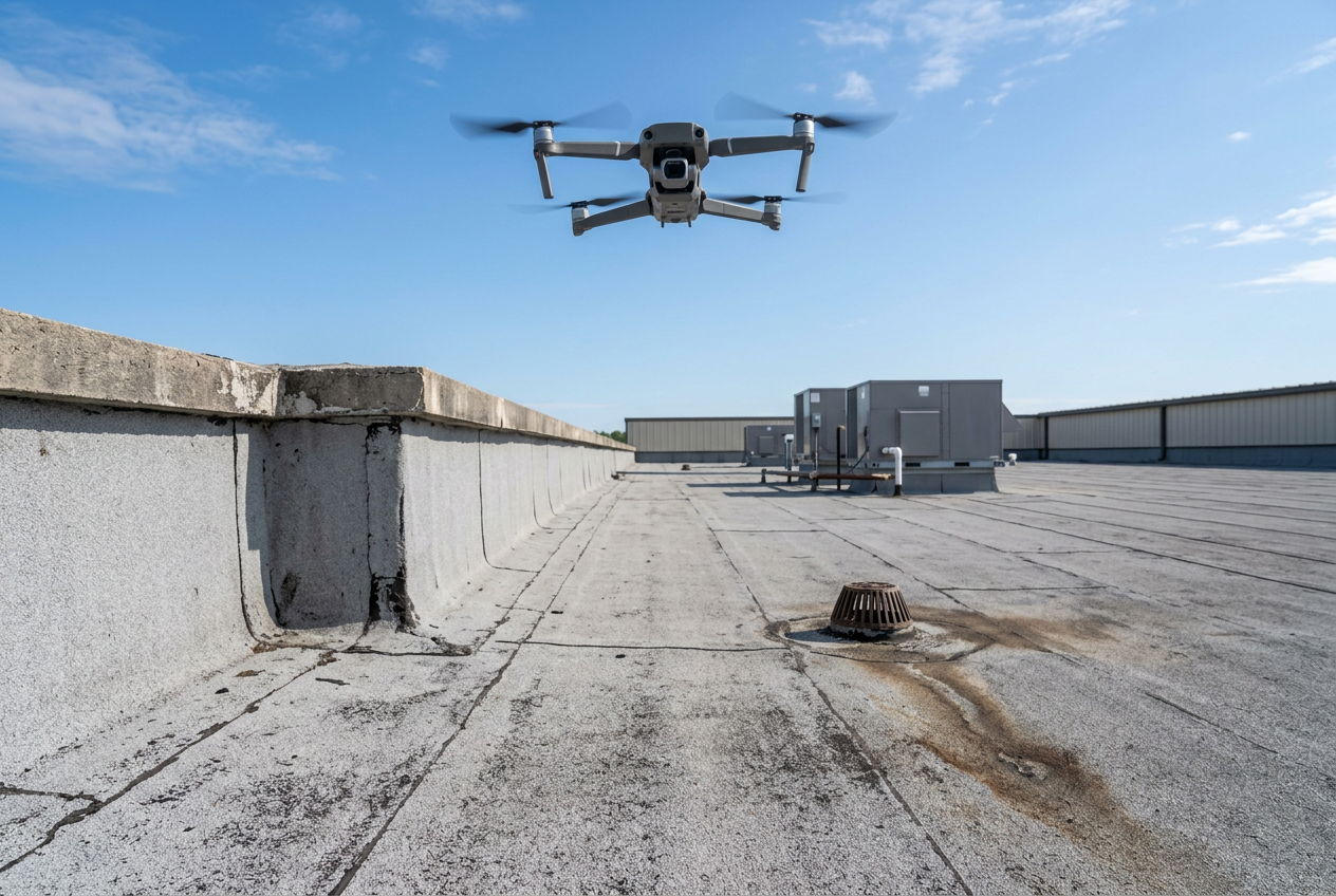
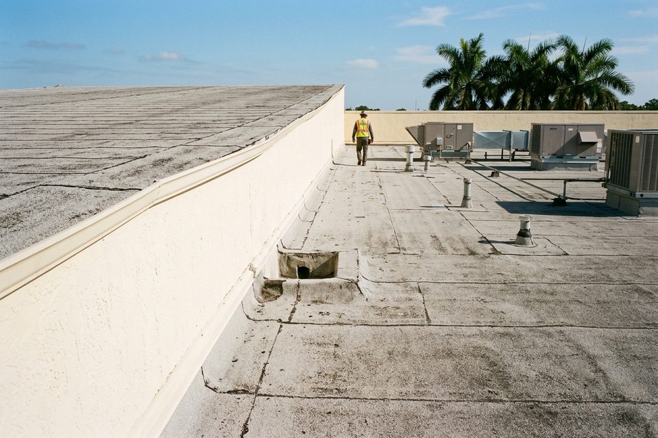
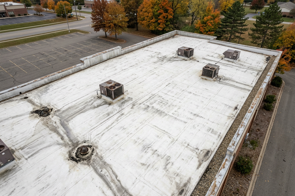
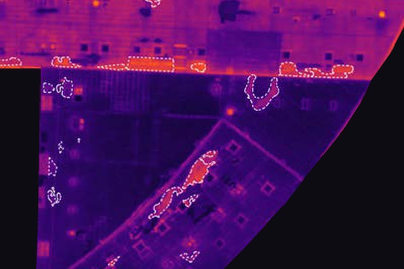
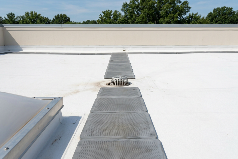
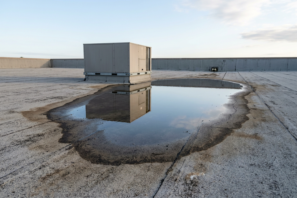
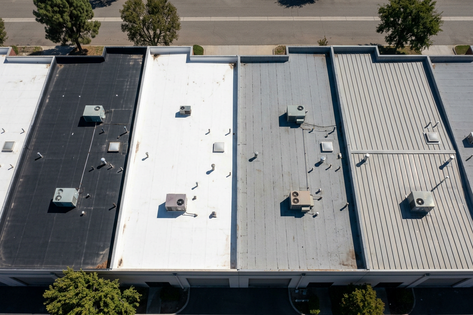
A drone inspection of a commercial building’s low-slope roof gives you one of two things, depending on the camera. A daylight flight gives an overhead record of the surface: staining, ponding marks, patches, and where every curb, drain and rooftop unit sits. A thermal flight, made after sunset, maps the areas that have stayed warmer than the roof around them, which is where the insulation under the membrane may be wet. Either way the whole roof is covered in one visit, and nobody has to walk it end to end.
What a drone cannot do is touch the roof. A warm area on a thermal image is a suspect until a core sample confirms it. A thermal camera cannot read a roof under ballast or pavers, it is the wrong tool for metal panels, and a gravel-surfaced built-up roof is a poor fit, usually surveyed another way. Use the flight to learn where to look and where to cut, not as a verdict.
Daylight and thermal: two flights, two jobs
| Daylight flight | Thermal flight | |
|---|---|---|
| When | By day | After sunset, on the evening of a sunny day |
| Records | Visible light: the roof as the eye sees it | Surface temperature |
| Shows | Staining, ponding marks, patches, where curbs, drains and rooftop units sit | Areas still warmer than the roof around them |
| Cannot | See anything below the surface | Say an area is wet; a core does that |
Ask for both from a thermal survey: stitched daylight and thermal images of the whole roof, with close-ups of each flagged area, so that every warm shape can be matched to a place on the roof.
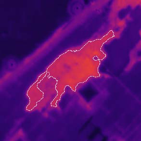
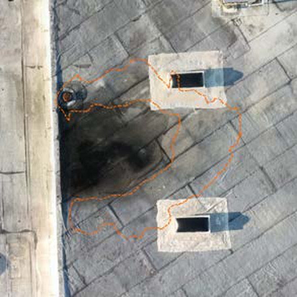
The daylight image is also the first check on the thermal one. Exhaust from a rooftop unit, standing water, dirt and debris can each read warm with dry insulation underneath, and the photograph shows what is there. The sample report on this site is a sample from a real scan, with the address, the people and the companies removed and the map re-oriented. One of its flagged areas shows nothing at all in daylight and a clear warm patch in thermal.
Why the thermal flight waits for sunset
Through the day the roof takes on heat from the sun, and after sunset it gives that heat back. Wet insulation holds the day’s heat longer than dry insulation, so for a time the membrane above it stays warmer than the roof around it. The flight is made in that window. The sample on this site was flown on a clear evening about an hour after sunset.
So the weather sets the date. The method needs a sunny day followed by a clear, dry, calm evening; wind, for one, weakens the pattern. Practitioners also want the surface dry and some hours since the last rain; their figures vary, and the standard and the conditions on the night govern. Infrared roof moisture surveys covers the method and its conditions in full.
What a drone adds
- The whole roof in one evening. Each frame covers a wide patch of roof, and the frames are stitched into one image. Our drone moisture scan usually takes one evening.
- Measured areas. Each area that looks wet is outlined on the map and measured in square feet. On the sample, a roof of about 50,000 sq ft came back with 28 areas flagged, from 2 sq ft to about 206 sq ft: 1,929 sq ft in total, 3.8% of the roof. Nothing was cored, so each one is still a suspect.
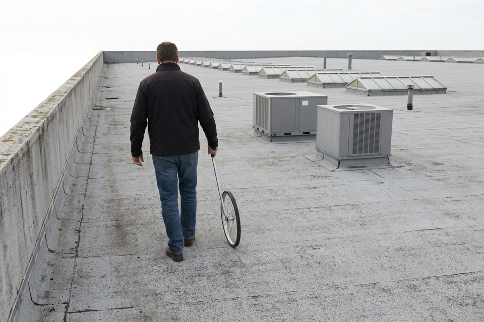
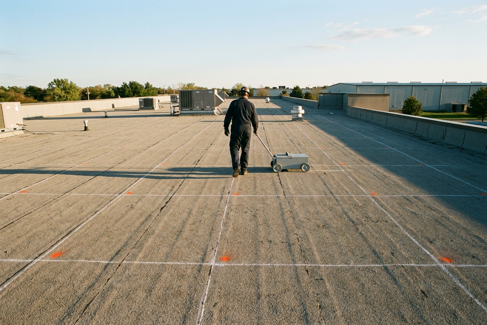
- Nobody walking the whole roof. People go up afterwards, to the flagged areas, to cut the cores.
- The building runs as normal. The flight happens over the roof while the building carries on underneath.
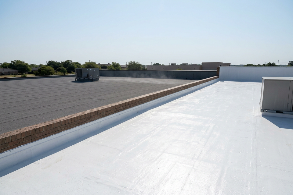
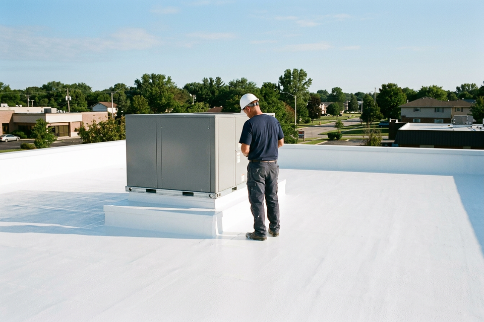
- A record to compare later. The images record the surface and what read warm that evening, and a later survey can be set beside them. A white coating makes later thermal work harder, one more reason to make that record before the roof is coated.
What a drone cannot do
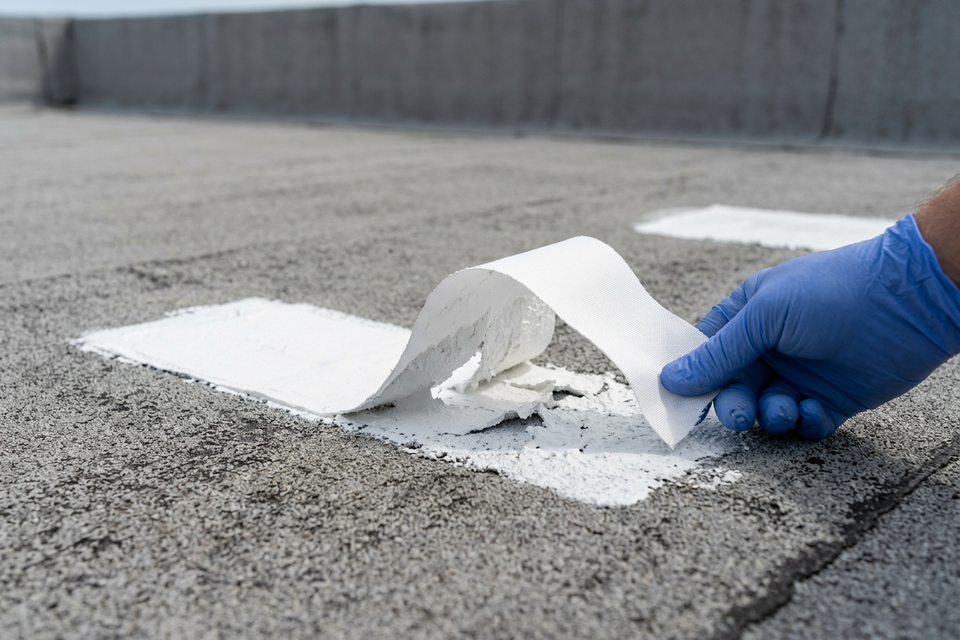
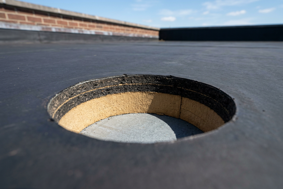
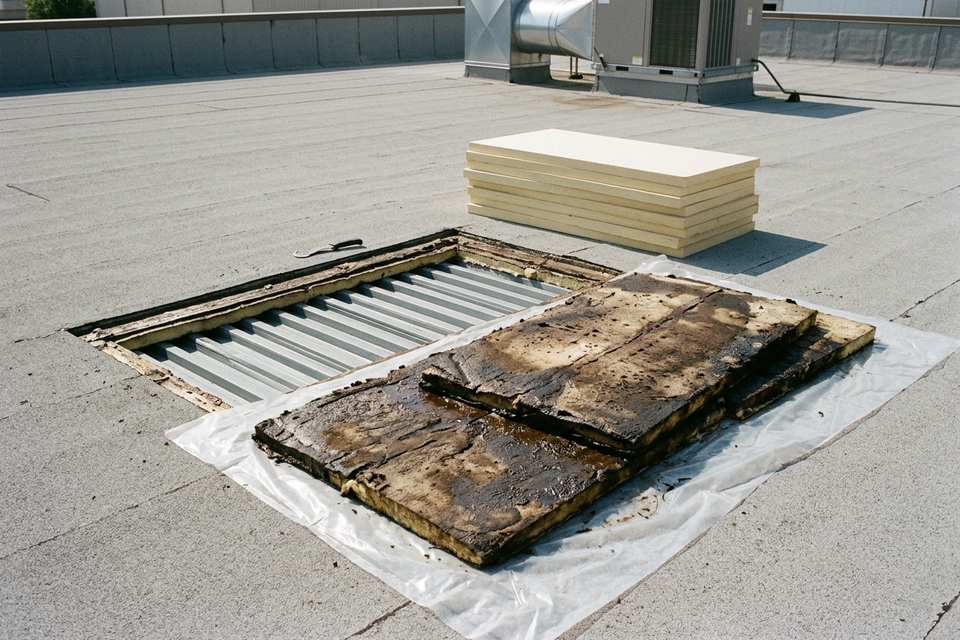
Touch, cut or confirm. A thermal image shows temperature differences, not water. It marks areas that look wet, and a core, a small cut through the membrane and the insulation, shows whether they are. ASTM C1153 is the standard practice for locating wet insulation with infrared imaging, from the ground or from the air, and it includes verifying the infrared data with invasive tests. The scan marks suspects; the cores confirm them. Core samples: how a scan gets confirmed has the detail.
See under ballast or pavers, or past gravel. Stone ballast and pavers store the sun’s heat and mask the small differences the camera looks for, so those roofs do not suit a thermal scan. Gravel makes warm patterns that can pass for small wet spots, so a gravel-surfaced built-up roof is a poor fit, usually surveyed another way.
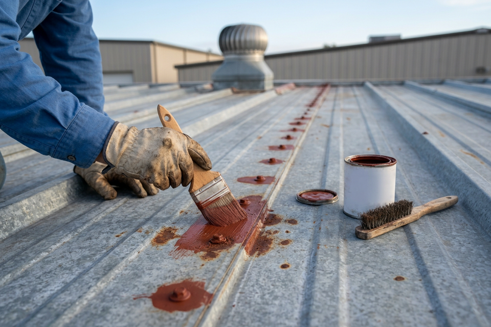
Survey metal panels thermally. The thermal method suits low-slope roofs with insulation under a membrane: single-ply, modified bitumen, smooth built-up. A metal panel roof is the wrong roof for it. So are highly reflective or already white-coated surfaces, and roofs whose insulation does not hold water, closed-cell foam among them.
See under rooftop equipment, or say where the water got in. An aerial view stops at the top of a rooftop unit, and no thermal survey names the point of entry or the cause.
Judge the rest of the roof. How many layers are up there, whether a coating will bond and whether the deck is sound are questions for cores, an adhesion test patch and the building’s engineer.
A roof on the wrong side of these limits is surveyed another way: a capacitance or nuclear survey, cores, a walk-through. Infrared, capacitance, nuclear and cores compared sets them side by side.
The rules a flight works under
These are reference notes, not legal advice. The federal rules for a flight like this sit in 14 CFR Part 107, the FAA’s rule for small unmanned aircraft. In plain words:
- Night flights are allowed. Since April 21, 2021 a night flight has not needed an FAA waiver. The rule sets two conditions instead: one on the remote pilot’s training, and one on the aircraft, which must show anti-collision lighting visible for at least 3 statute miles. Articles that say otherwise are out of date.
- There is a ceiling. No higher than 400 ft above the ground or, within 400 ft of a structure, 400 ft above its top.
- Airports come first. In the controlled airspace around an airport, a flight needs air traffic control’s authorization beforehand.
Florida adds a privacy law of its own. Section 934.50 of the Florida Statutes restricts, in broad terms, using a camera-equipped drone to record images of privately owned property without written consent. The statute’s own text carries the conditions and the exceptions; which flights it reaches is a lawyer’s question. Our practice does not depend on the answer: we fly only with the owner’s written go-ahead, wherever the building is.
What to ask any provider
Put these to anyone offering a drone inspection, us included.
- What do I receive? A folder of photographs is not a survey. Look for a roof map with each flagged area outlined and measured in square feet, a daylight image beside each thermal one, how much warmer each area read than the dry roof around it, and a note of the conditions on the evening. Ours comes with three things: the map, video from the flight, and a written assessment of what the scan found, which is a screening read, not a diagnosis.
- How are flagged areas verified? The answer should be cores: who cuts them, where, and who patches them. An answer that stops at the images leaves the survey unfinished.
- Which roofs will you tell me a thermal scan does not suit? An honest list names ballast and pavers, metal panels, white-coated surfaces and insulation that does not hold water, and calls a gravel-surfaced built-up roof a poor fit.
- What weather do you need, and what if the evening does not deliver it? The right answer is that the flight waits.
- How is the owner’s consent recorded, and does this address need airspace authorization?
And ask the price. We quote the scan for your roof when you ask; it depends on the roof’s size and where the building is.
How a scan fits a restoration decision
Applied over a sound, dry roof, a restoration system adds 10 to 15 years of service life. Dry is the condition the flight and the cores are there to check. Coating makers, Sherwin-Williams included, require wet insulation to be found and replaced before a coating goes on. The map shows whether the roof needs a coating with a few sections replaced first, or whether so much of it is wet that replacing it makes more sense, before you budget for either. The cost page has the typical installed range for each route.
Who decides what:
- The owner decides whether a flight happens, and nothing about the roof has to be decided until the map is in hand.
- The installer, a roofing contractor, looks at the roof and says whether it is a good candidate for restoration. We work with a network of installers and can introduce you to one anywhere in the US.
- The manufacturer decides whether a system warranty is issued, under its own terms. No flight and no report makes a roof eligible.
- The building’s engineer and the local building department decide anything structural and what permits the work needs.
If you are not sure a thermal flight suits your roof, the scan-fit tool says whether it will work and, if not, what will. We arrange scans for commercial low-slope roofs anywhere in the US. To start, request a moisture scan and put the building’s address in the message.
Last updated 2026-10-05.