Infrared roof moisture survey: how it works, and when it does not
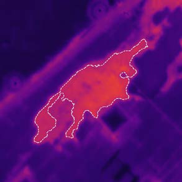
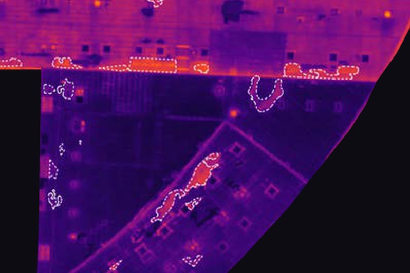
An infrared roof moisture survey is a thermal scan of a low-slope roof, taken after sunset, that maps where the insulation under the membrane looks wet. The camera does not see water. It sees temperature: wet insulation holds the day’s heat longer than dry insulation, so the membrane above it stays warmer into the evening, and each warm area is outlined on a roof map and measured in square feet.
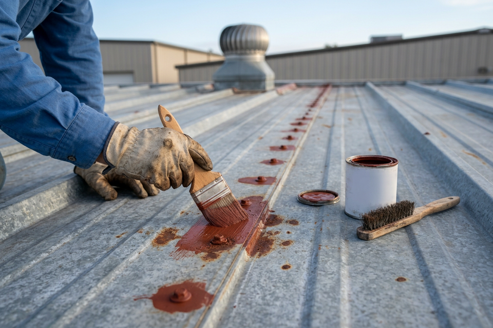
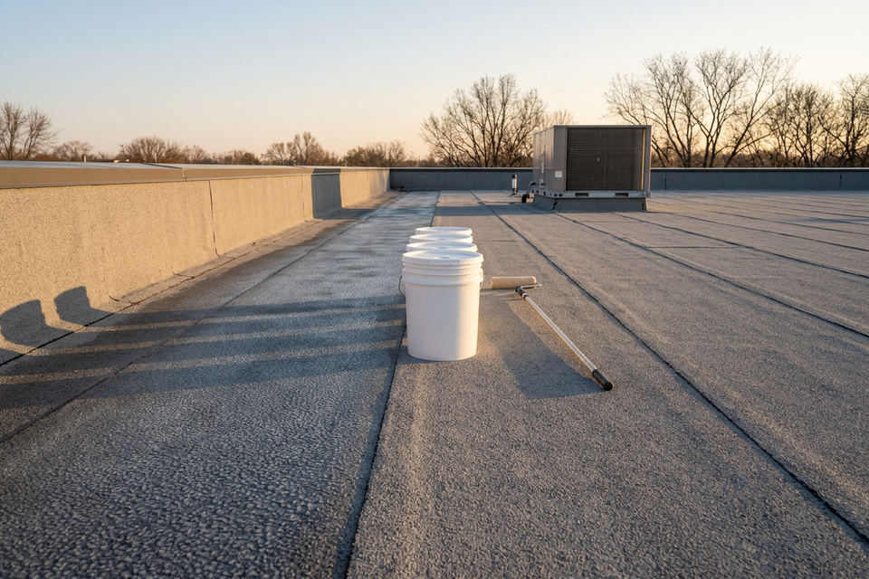
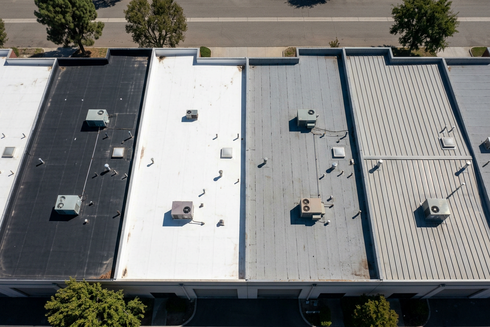
It works when a sunny day is followed by a clear, dry, calm evening, on roofs where the membrane sits directly on insulation that can absorb water. It is the wrong tool for roofs under ballast or pavers, for metal panel roofs, for highly reflective surfaces, and where the insulation does not hold water, and a poor fit for gravel-surfaced built-up roofs, which are usually surveyed another way. And on any roof a warm area is a suspect, not a finding. The scan marks suspects; the cores confirm them.
What the camera measures
Through the day a roof takes on heat, mostly from the sun, and after sunset gives it back. Water stores a lot of heat, so insulation or cover board that has absorbed water cools more slowly than dry board beside it, and the membrane over it stays warmer. That difference lasts until the roof settles to one temperature, which one engineering paper puts at several hours after sunset. The survey is made inside that window.
As NRCA’s Professional Roofing magazine put it, “Infrared imagers do not see moisture; they see temperature differences.” A thermographer reads the warm shapes as the approximate location of material that may be wet.
The conditions a survey needs
The method runs on stored solar heat, so the weather decides what there is to see.
- A sunny day. Direct sun loads the roof with heat.
- A clear evening. The roof has to cool for wet areas to stand out, and cloud cover is one of the listed limits.
- A dry roof. No rain that day, no standing water, no dew on the membrane.
- Calm air. Wind weakens the thermal pattern.
ASTM C1153 addresses the weather a survey needs, wind and recent rain included. Practitioners’ published figures vary: some say 24 hours since the last rain, others 48, and more than one caps rooftop wind at 15 mph. The current edition of the standard and the conditions on the night govern, and even with every condition met the thermographer’s judgment still counts.
So a survey is booked for a stretch of weather, not a date; a marginal evening is a reason to wait.
Roofs it suits, and roofs it does not
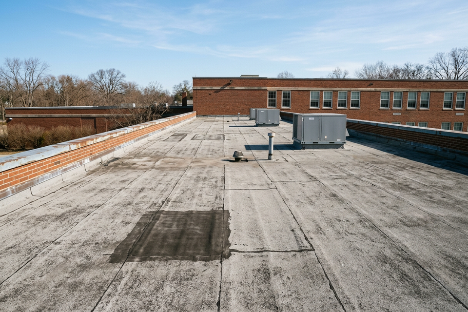
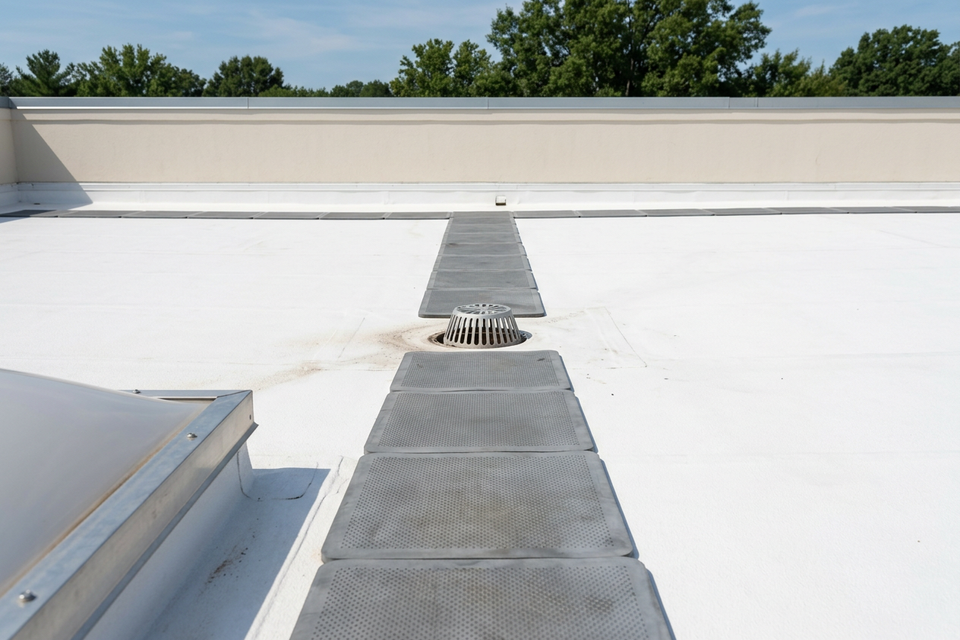
The standard’s scope is roofs with insulation above the deck, in contact with the membrane: something under the membrane that soaks up water, and nothing on top that hides its heat.
| Roof | Thermal survey | Why |
|---|---|---|
| Single-ply, modified bitumen or smooth built-up over board insulation, no ballast | Suits | The membrane sits on insulation that can absorb water |
| Gravel-surfaced built-up | Poor fit | Gravel makes warm patterns that can pass for small wet spots |
| Stone or paver ballast; protected (inverted) membrane | Does not suit | Ballast stores the sun’s heat and masks small differences |
| Metal panels | Does not suit | Reflections off the panels swamp the reading |
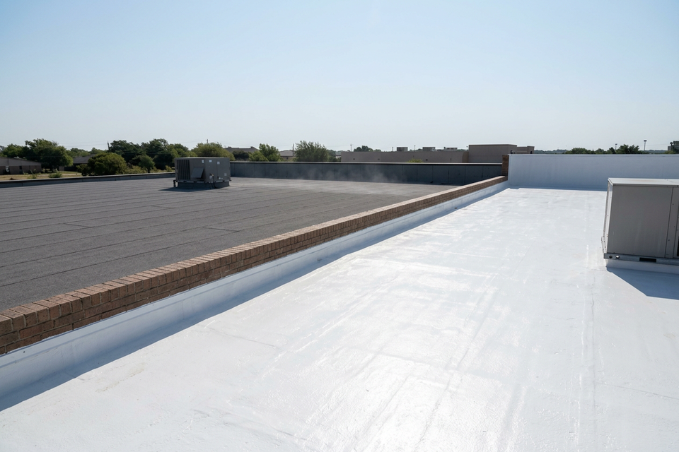
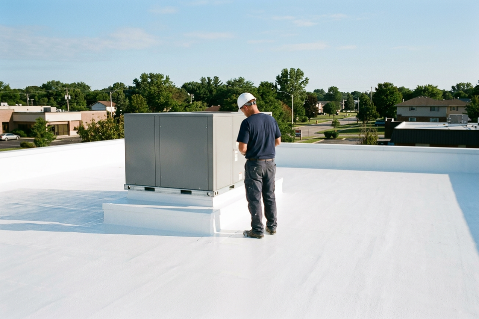
| Highly reflective or already-white-coated surface | Does not suit | Reflections degrade the image |
| Spray foam roofs, and other closed-cell or EPS insulation | Does not suit | The insulation does not hold water |
| Lightweight insulating concrete or poured gypsum deck | Difficult | The deck itself holds moisture |
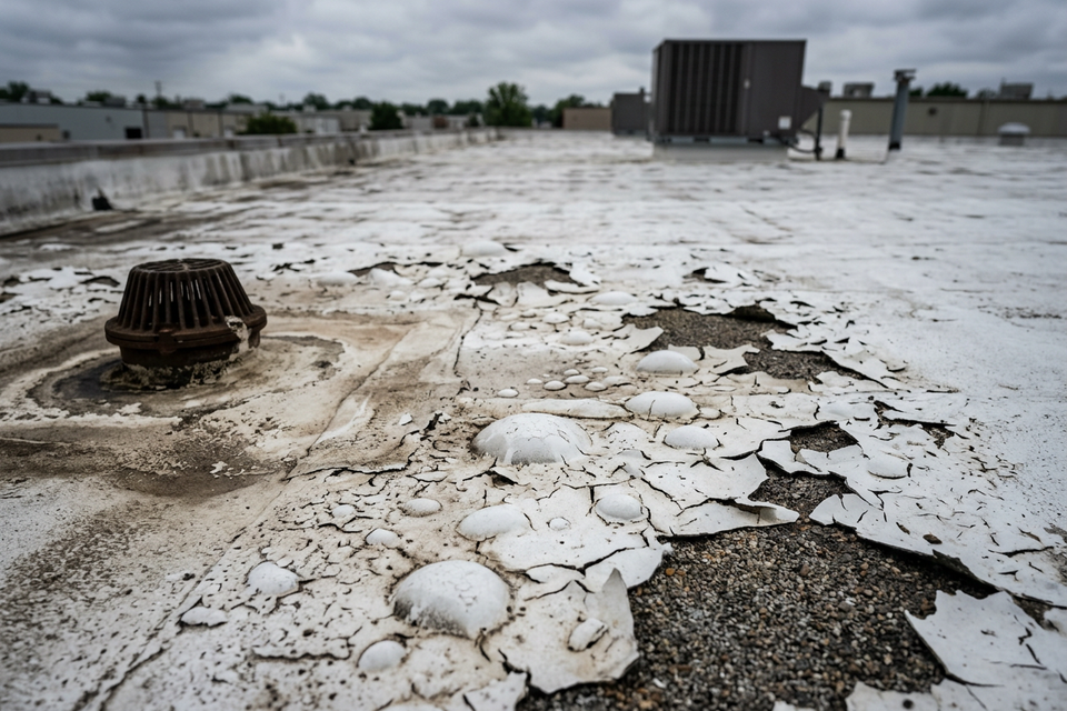
A roof on the wrong side of this table is surveyed another way: a capacitance scan, a nuclear gauge read on a grid, cores, or a walk-through. Infrared, capacitance, nuclear and cores compared sets them side by side. And since a white coating makes later thermal work harder, the time to scan is before the roof is coated.
On the roof, from an aircraft, from a drone
The standard covers ground-based and aerial surveys. In practice the camera is carried three ways.
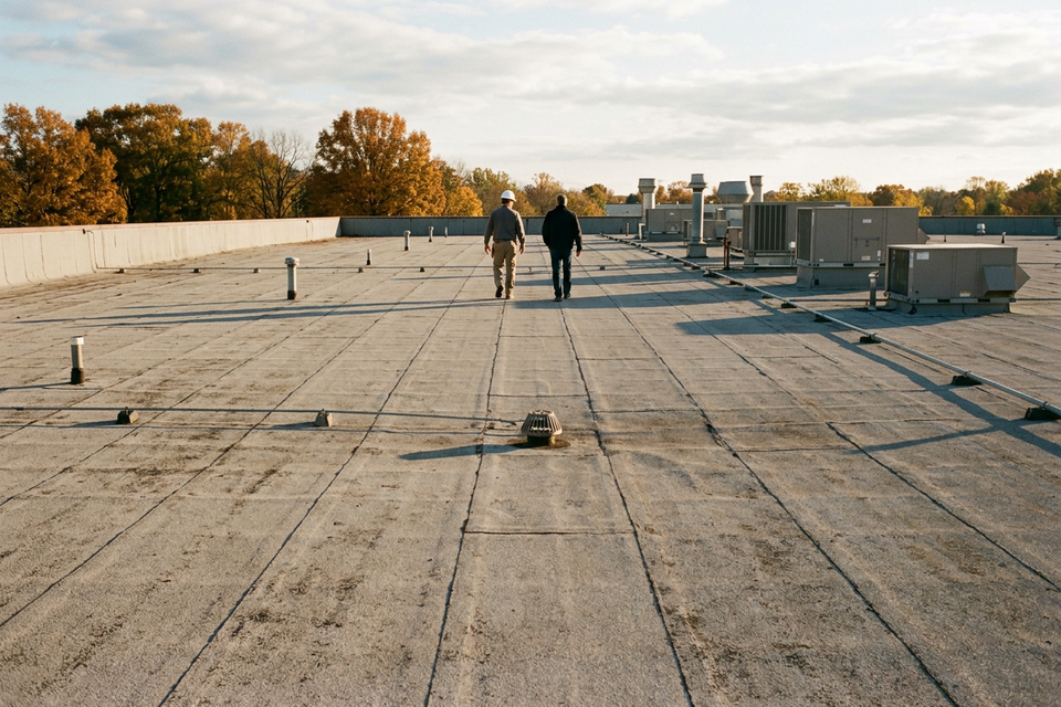
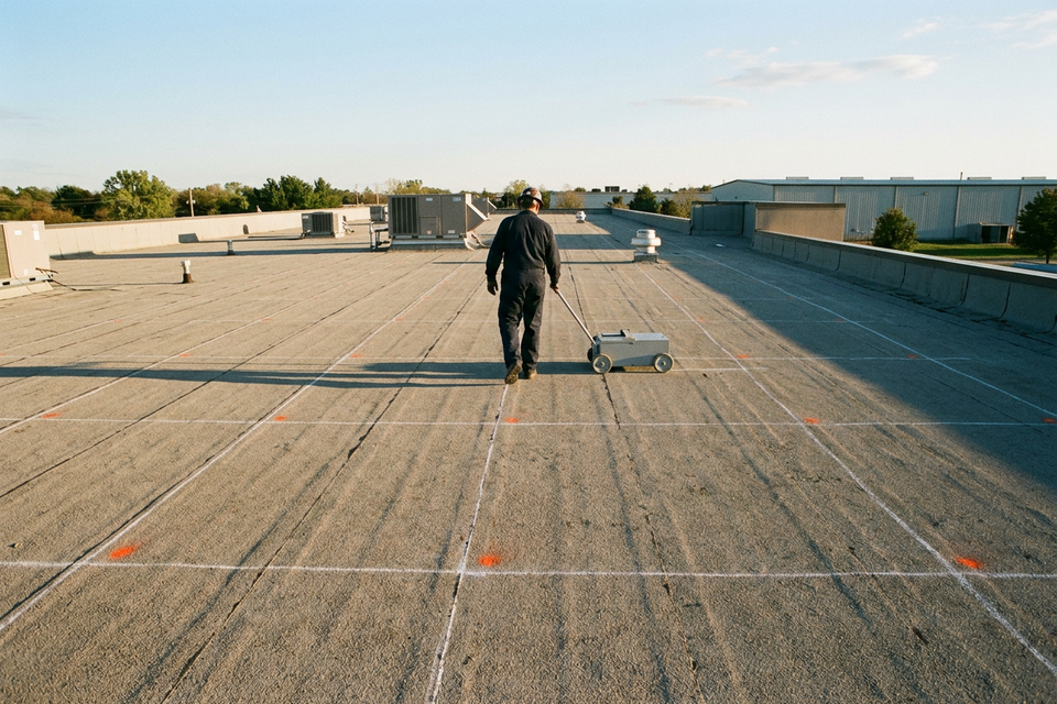
- On the roof. A thermographer walks it after dark with a handheld camera and marks wet areas on the membrane as they are found. The view is at a shallow angle, which degrades the reading, and each frame takes in a small patch.
- From a manned aircraft. The traditional aerial method looks down on the whole roof and reports wet zones drawn on a roof plan.
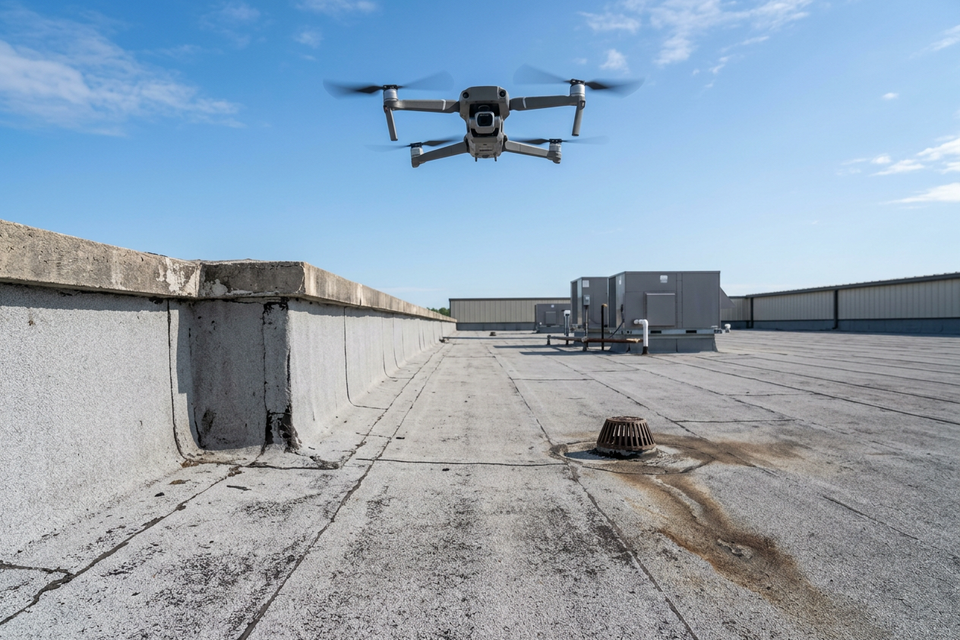
- From a drone. The same downward view, with the frames stitched into one image of the roof and daylight photographs to match.
No aerial view sees under rooftop equipment, and however the images are taken, someone still goes onto the roof to verify them. Our drone moisture scan is the third kind: it usually takes one evening, nobody has to walk the whole roof, the building runs as normal, and we fly only with the owner’s written go-ahead.
What the report contains
A usable report lets someone who was not there find each flagged area. Ask for:
- a roof map with the areas that look wet outlined;
- the size of each area in square feet, and the total;
- a daylight image beside each thermal image, so a warm patch can be matched to a curb, a drain or a stain;
- how much warmer each area read than the dry roof around it;
- a note of when, and under what sky, the images were taken.
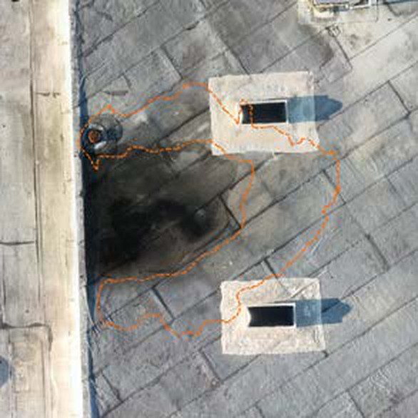
The sample report here is a sample from a real scan, with the address, the people and the companies removed and the map re-oriented. The sample shows the map and the image pairs; a full scan from us also comes with video from the flight and a written assessment of what the scan found. Flown on a clear evening about an hour after sunset over a roof of about 50,000 sq ft, the sample flagged 28 areas totaling 1,929 sq ft, 3.8% of the roof. The warmest read 14.5 °F above the dry roof around it; nine of the 28 were less than 5 °F warmer. Nothing had been cored, so every area is suspected, not confirmed. How to read a thermal roof scan picks up from there.
What else shows warm
A thermal image records every warm patch, whatever the cause:
- Rooftop exhaust. Warm air or fumes from a fan or flue heat the membrane.
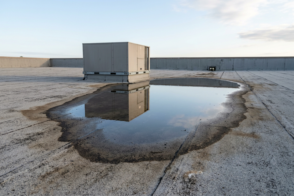
- Ponding. Standing water holds the day’s heat much as wet insulation does.
- Changes in membrane thickness. Extra plies at a patch, a flashing or a penetration read differently from the field.
- Dirt and debris. Silt, leaves and loose gravel do the same.
This is what the daylight image is for. Acting on an unverified scan, the trade press warns, can mean cutting out roofing that was dry. The method misses things too: a roof saturated edge to edge can show a mottled pattern with no clear outline, and no thermal survey says where the water got in.
Cores are part of the method
ASTM C1153 is the standard practice for locating wet insulation in roofing systems with infrared imaging. It covers the equipment, the weather, the roof’s construction, operator qualifications, and verification of the infrared data by invasive tests: cores, or cores with moisture-meter probes. The practice requires that verification: a survey is unfinished until the flagged areas have been cut.
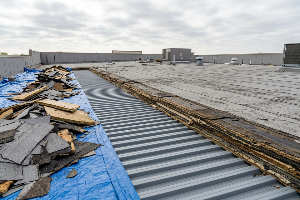
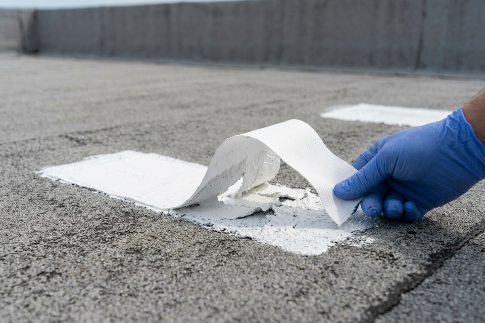
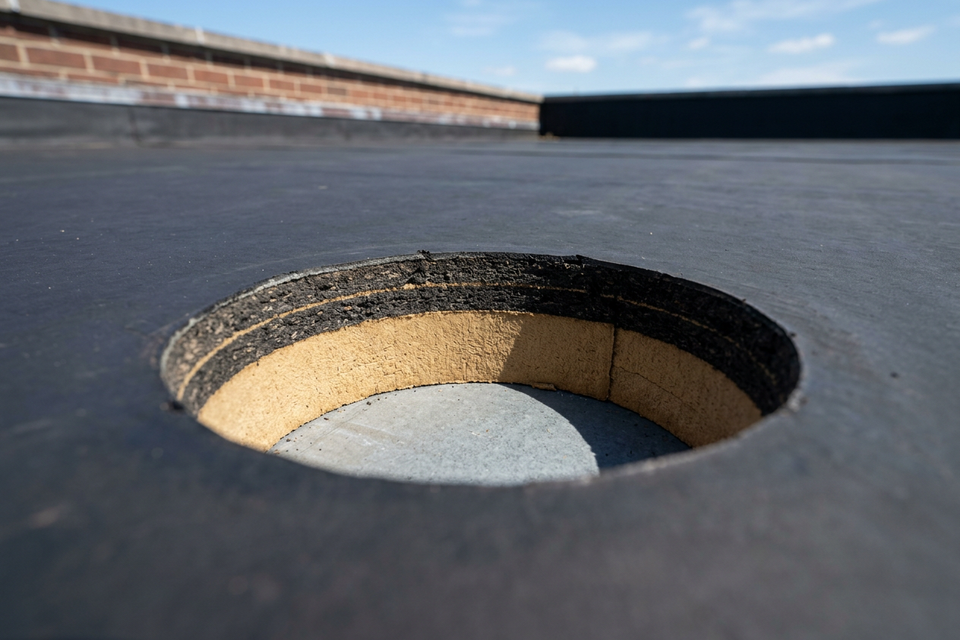
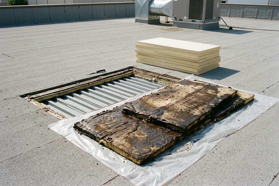
A core is a small cut through the membrane and the insulation. It shows whether the insulation is wet and what the roof is built from: how many layers, what insulation, how thick. Readings from any non-destructive method are relative; a core, weighed, dried and weighed again where the figure matters, turns them into a measurement. Each core is patched the day it is cut. Core samples: how a scan gets confirmed is the next read.
What the result is for, and who decides
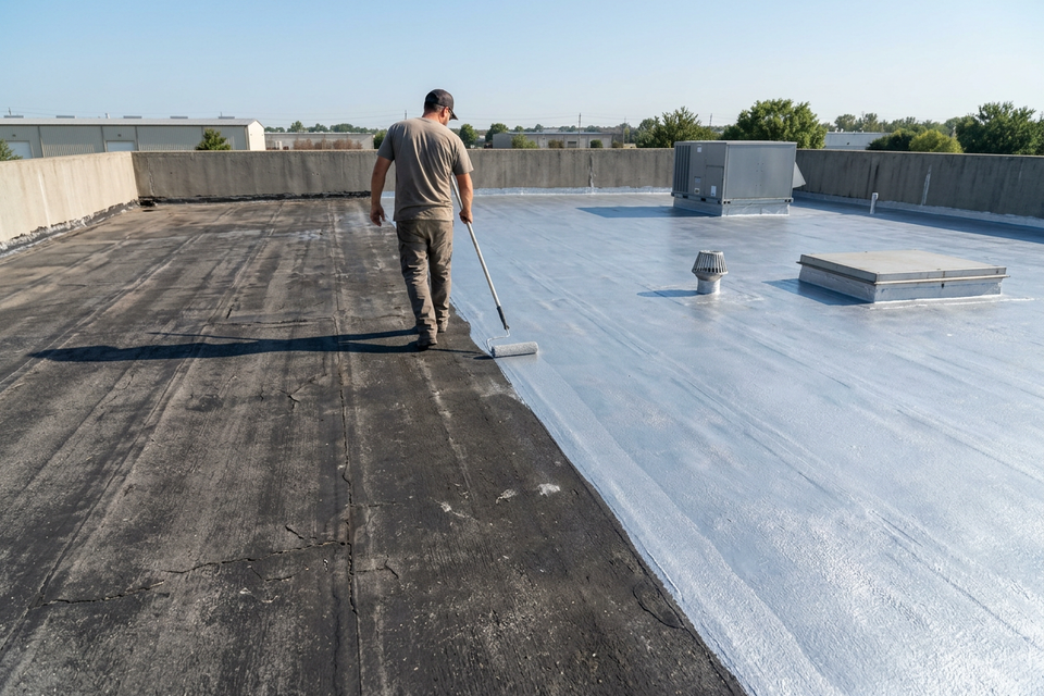
Applied over a sound, dry roof, a restoration system adds 10 to 15 years of service life. Dry is the condition a moisture survey exists to check. Coating makers, Sherwin-Williams included, require wet insulation to be found and replaced before a coating goes on. A Sherwin-Williams Uniflex guide specification, for one, calls for every roof area to be inspected for moisture and a roof plan showing the wet areas.
The map and the cores then answer the budget question: a coating with a few sections replaced first, or so much wet insulation that replacing the roof makes more sense. Where that line falls is a judgment for the people below, not a formula; as a rule of thumb, manufacturers commonly draw it somewhere between 15% and 30% of the roof area. The cost page has the typical installed range for each route.
- The owner decides whether a survey is flown, and nothing about the roof has to be decided until the map is in hand.
- The installer, a roofing contractor, looks at the roof, says whether it is a good candidate for restoration and writes the scope.
- The manufacturer decides whether a survey satisfies its specification and whether a system warranty is issued, under its own terms.
- The building’s engineer and the local building department decide anything structural and what permits the work needs.
If you are not sure a thermal survey suits your roof, the scan-fit tool answers that and names what to use where it does not. We arrange scans for commercial low-slope roofs anywhere in the US. To start, request a moisture scan and add the building’s address to the message.
Last updated 2026-10-05.